Hanover Engineering provides a full range of design, data collection and drafting services, supported by our highly trained staff, to service the needs of our clients. Whether in the field or in the office, our staff utilizes the most advanced equipment and software to provide the most accurate information and efficient services possible.
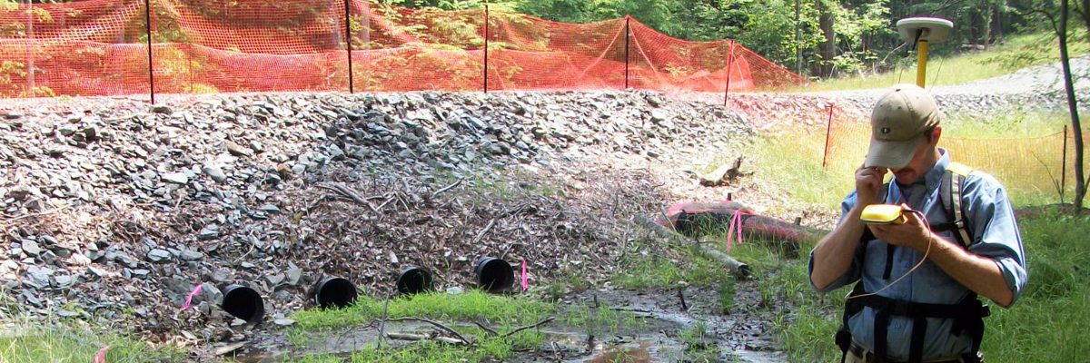
Hanover Engineering can provide powerful GIS/GPS data capturing services for any size municipal or private project. Our experienced personnel use the latest CAD software, ESRI (Environmental Systems Research Institute) GIS software and Trimble GPS equipment to provide accurate and up-to-date information for our projects.
Hanover Engineering’s CAD staff is highly diversified in various disciplines of drafting and work alongside our Engineering staff, Surveyors and other field technicians to create highly detailed plans for our municipal and private clients. They are fully integrated into the design process and provide valuable assistance in the preparation of civil, municipal and structural engineering plans using the latest available technology and software.
Hanover Engineering’s GIS technicians work closely with the Engineering, CAD and Environmental departments to provide detailed computer-based mapping and information for projects. Information can be obtained through existing state, county and municipal databases, as well as data collected from the field. Using the data obtained, our GIS specialists create detailed maps, used to update database inventories and/or map areas of interest, which are shared with the project team and clients to ensure that cost-effective, informative and timely decisions are made throughout the project.
Our GPS specialists work alongside the Surveyors, Environmental department and Engineers on a daily basis to provide accurate reference points and field data. GPS field technicians work closely with GIS analysts in developing the raw data collected from the field into maps and information to be used on the project. GPS technicians often travel to remote, previously unmapped areas, to collect data which establish the groundwork for the development of many of our projects.
Our technical staff of CAD, GIS and GPS employees work together as a team to provide valuable mapping, database information and plans for each project. These mapping and drafting specialists support the project team from the start of a project to the successful completion.