Hanover Engineering provides a full range of Engineering and Environmental Consulting services for subdivision and land development planning and design. Our staff has extensive experience in all aspects of land development, including residential subdivisions, commercial and industrial development, Brownfield redevelopment, and low impact development. Our firm also provides feasibility studies, site evaluations and regulatory evaluations.
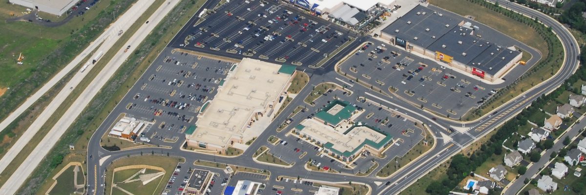
Hanover Engineering has completed projects ranging in size from small two and three lot residential subdivisions to large 200+ acre commercial and industrial parks. Our firm consists of a fully integrated in-house support staff consisting of professional engineers, surveyors and geologists, landscape architect and planners, environmental scientists and soil specialists, traffic designers, and GIS and GPS specialists.
Our consulting services include street and roadway design, grading plans, stormwater management design, sanitary sewer and water supply design, traffic and transportation planning and permitting, environmental services and sewage facility design. Our firm specializes in water quality BMP design, NPDES stormwater compliance and permitting, and erosion and sedimentation pollution control designs.
Our staff regularly attends seminars and conferences to keep up-to-date on the continuously changing Federal, State and local regulations that impact our clients and the municipalities where our projects are located.
The experience and knowledge of Hanover Engineering’s staff of Professional Engineers, Professional Geologist, Registered Surveyors and Registered Landscape Architect, ensures a high level of technical professionalism in the services we provide to our clients.
Subdivision and Land Development Services include:
- Residential Subdivisions
- Commercial and Industrial Development
- Low Impact Development
- Development Impact Studies
- Feasibility Studies and Site Evaluation
- Regulatory Compliance Evaluations
- Dam Engineering Services